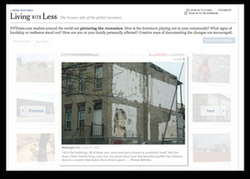
Some of the Georgia Ave. pics then made it into the New York Times Online Edition, where they became part of the feature "Living with Less".
|
Georgia Ave is a psychogeography project. Guy Debord writes in his Theory of the Dérive, that "one of the basic situationist practices is the dérive, a technique of rapid passage through varied ambiences. Dérives involve playful-constructive behavior and awareness of psychogeographical effects, and are thus quite different from the classic notions of journey or stroll." The quest to walk along all of Georgia Avenue stood at the outset of this project, since Georgia Avenue passes through varied ambiences. It begins north of Florida Avenue, which was the boundary of the Old City, and is a continuation of 7th Street. Traveling northward, the street passes Howard University and Fort Stevens. At Eastern Avenue, the road crosses into Montgomery County and passes through Silver Spring. Where it crosses Colesville Road a mile into Maryland, Georgia Avenue splits off U.S. Route 29 and becomes Maryland State Highway 97. Georgia Avenue ends at the boundary with Howard County, where it becomes Roxbury Mills Road. The total length of the road is about 24 miles (39 km), of which 5 miles (8 km) are in Washington, D.C.
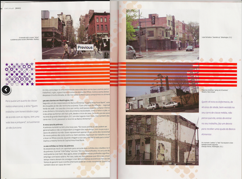
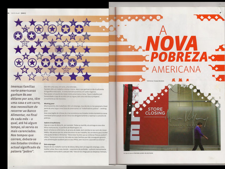
The resulting pics from the Georgia Ave Dérive then got published by CAIS magazine in Lisbon, where they called it "A nova pobreza Americana" and threw in some more images that I took in New York City.
|
Menu
Thomas-Behrens-Visual-Communication
